Certificate in Mobile GIS & Data Collection Tools
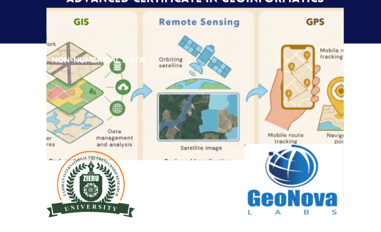
Advanced Certificate in Geoinformatics
Program Description:
This Certificate Course offers practical skills and conceptual understanding necessary for conducting mobile Geographic Information Systems (GIS) operations and efficient field data collection. Participants will explore mobile GIS technologies, field mapping applications, and methods for collecting, managing, and integrating field data using mobile devices and cloud-based platforms.
This course is designed for the youth, recent graduates, professionals, and data enthusiasts.
1.1 Learning Outcome:
By the end of the Course, participants will be able to:
- Understand the fundamentals of mobile GIS systems and field data collection workflows.
- Configure and deploy mobile GIS applications (e.g., QField, SW Maps, ODK Central, KoboToolbox).
- Design and manage field data collection forms with geospatial attributes.
- Integrate mobile-collected data with desktop GIS for analysis and reporting.
- Apply best practices for accuracy, GPS integration, and real-time data syncing.
Background and Rationale
This course lays the groundwork for understanding Geographic Information Systems (GIS), with a focus on spatial data, maps, and coordinate systems. As a foundational module, it emphasizes the importance of GIS in modern decision-making and spatial analysis. Participants are introduced to satellite positioning systems and real-world GIS applications across various sectors, including urban planning, environmental monitoring, and public health. The course also explores spatial database concepts and mobile GIS architecture, preparing participants to manage and apply geospatial data in dynamic, field-based environments.
Learning outcomes
By the end of the course, participants will be able to understand spatial data structures and GIS functions, perform fundamental spatial analysis, and interpret spatial relationships. They will also demonstrate knowledge of GPS operations, including error sources and various types of GPS equipment. Participants will gain skills in designing and managing basic spatial databases and effectively distinguish between traditional and mobile GIS, including strategies for integrating mobile GIS.